History and heritage
From stone tools to telegraph signals
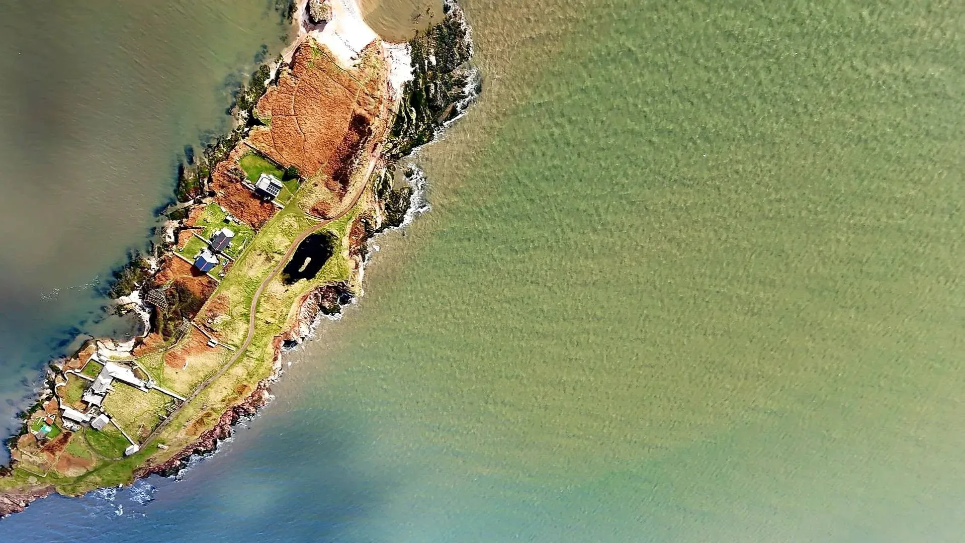
For thousands of years, the Hilbre Islands have been a stopping place, religious site, anchorage, workplace and refuge. Archaeology, buildings and written records reveal a history inseparable from the Dee Estuary.
After the Ice Age · c. 5000 BC
The first island visitors
The three islands now known as Hilbre, Middle Eye and Little Eye were once part of the mainland. They became tidal after the last Ice Age ended, around 11,500 years ago.
The historical account records hunter-gatherers visiting by about 5000 BC. Flint tools and later metalwork show that people continued to use the islands throughout prehistory, drawing food and materials from the estuary landscape.
Roman and early medieval Hilbre
Visits, graves and carved stone
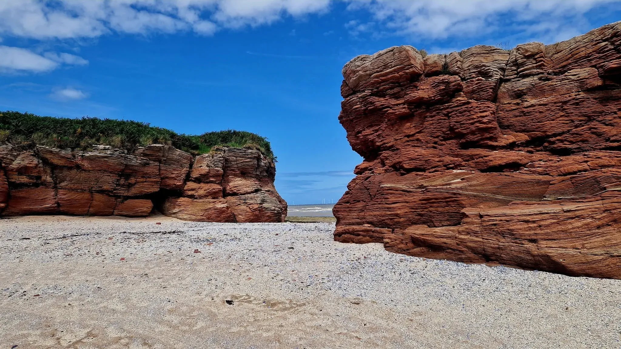
Roman material indicates visits to Hilbre, but no building has been found to show permanent occupation. A 19th-century suggestion that the island held a Roman lighthouse is not supported by archaeological evidence.
Graves and carved stones dating from the 10th and 11th centuries point to a religious presence before the Norman Conquest. Finds include an Anglo-Scandinavian cross head and a Hiberno-Norse grave slab.
Medieval Hilbre · from 1140
Hildeburgh’s island and its monastic cell
Hilbre first appears in surviving records in 1140 as Hildeburgheye, meaning Hildeburgh’s Island. The name may preserve a connection with an earlier local landowning family rather than a saint.
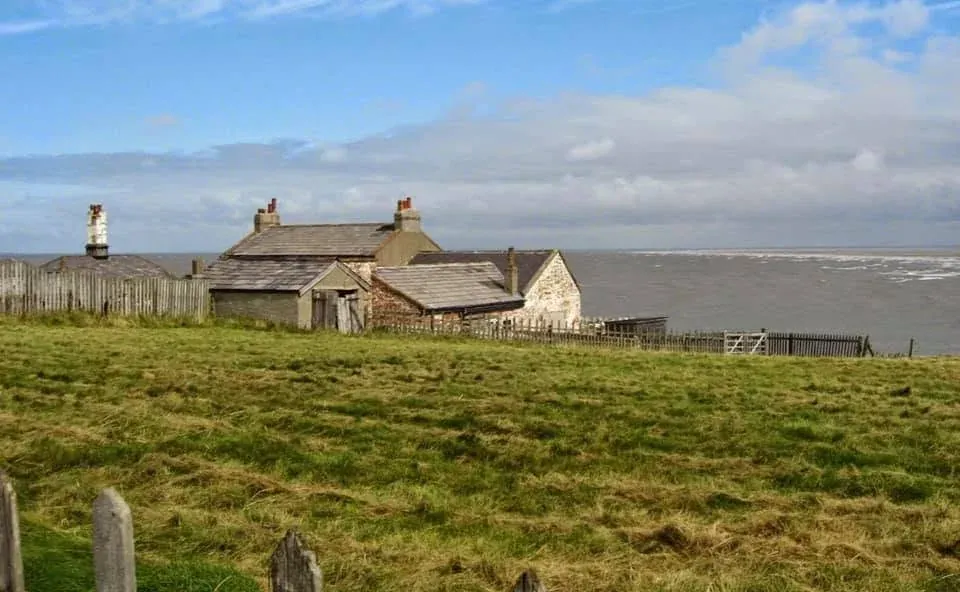
By then, West Kirby and Hilbre were controlled by Chester Abbey. A small Benedictine cell of two monks and their servants maintained fishing boats, watched the anchorages and fisheries, collected parish tithes and operated a farm at Little Meols.
Deeds identify the island chapel’s dedication as St Mary the Blessed Virgin. From about 1234, West Kirby parishioners made an annual visit for Mass on the Feast of the Assumption—a local religious festival rather than evidence of a great long-distance pilgrimage.
Anchorage and industry · 16th–18th centuries
Ships, soldiers and salt
As the River Dee at Chester silted, Hilbre and Hyle Lake became an important anchorage. The islands were used when troops, horses and equipment embarked for Ireland during the campaigns of Elizabeth I and Oliver Cromwell.
William III travelled from Chester to Hoylake in 1690 on his way to Ireland. A later story that 10,000 soldiers camped on Hilbre probably grew from the total number embarking from Hyle Lake; the islands could not have held them all at once.
A salt-refining scheme began in 1692, using Cheshire rock salt and Lancashire coal brought by water. Traces of the late-17th and early-18th-century works remain at the north of the main island.
Visitors and navigation · 1793–1840s
An inn, channel markers and a persistent myth
A public house was recorded on Hilbre in 1793 for crews using the harbour. It is remembered locally as the Seagull Inn, although that name has not been found in official records.
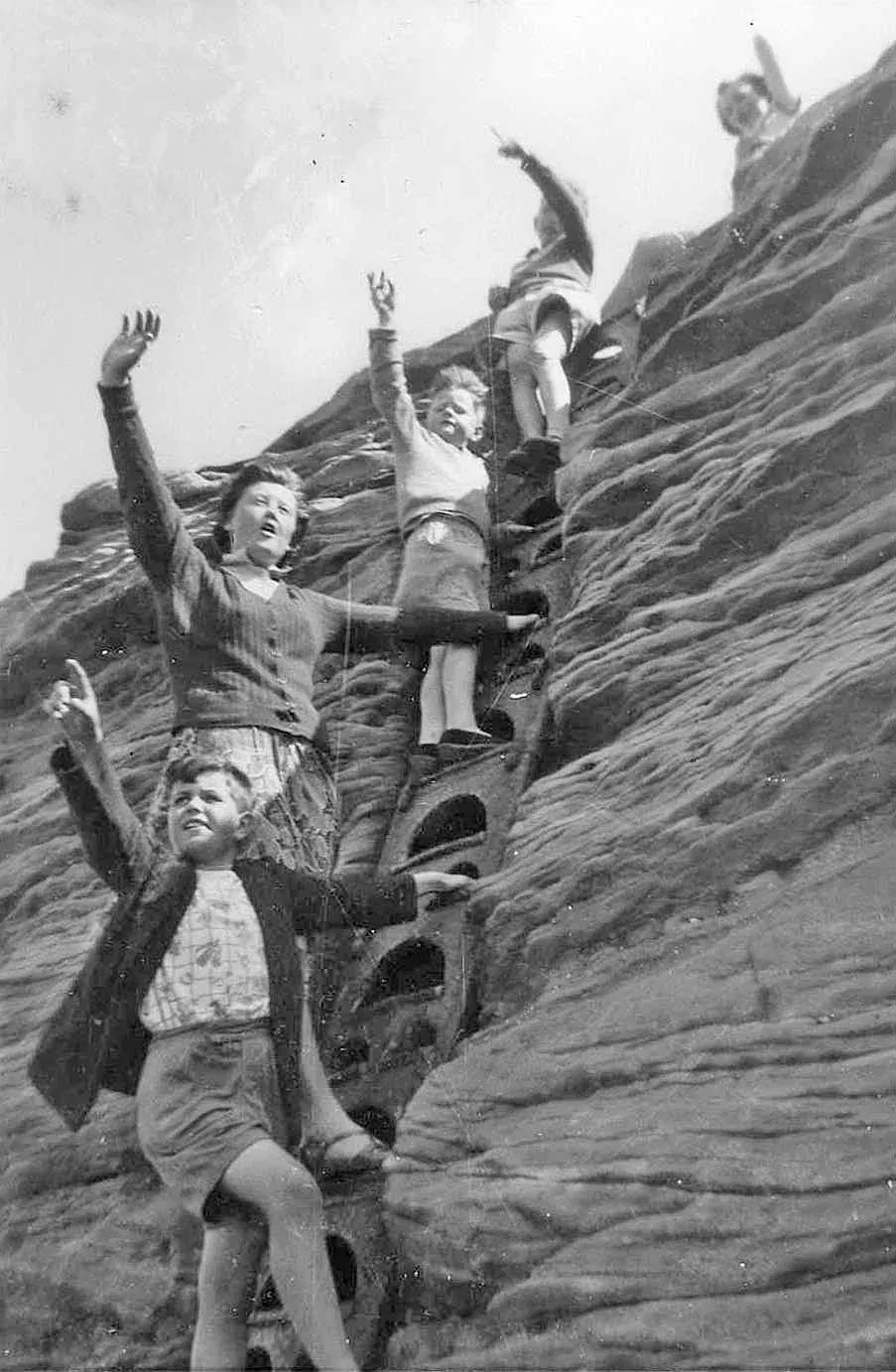
Tall wooden sailing markers were erected at opposite ends of Hilbre around 1810. The rock-cut footings of the northern marker survive and are sometimes called “monks’ graves”, but their form records a navigation structure, not burials.
A replacement pair, on Little Eye and the Hoylake shore, guided vessels into safe channels from about 1840. The later markers were removed during the Second World War so they could not guide enemy aircraft.
Communication · 1826–1939
The semaphore and telegraph station
In 1826, the Trustees of the Liverpool Docks leased the islands from Chester Cathedral to establish a semaphore link between Holyhead and Liverpool. The first message passed through Hilbre in 1827.
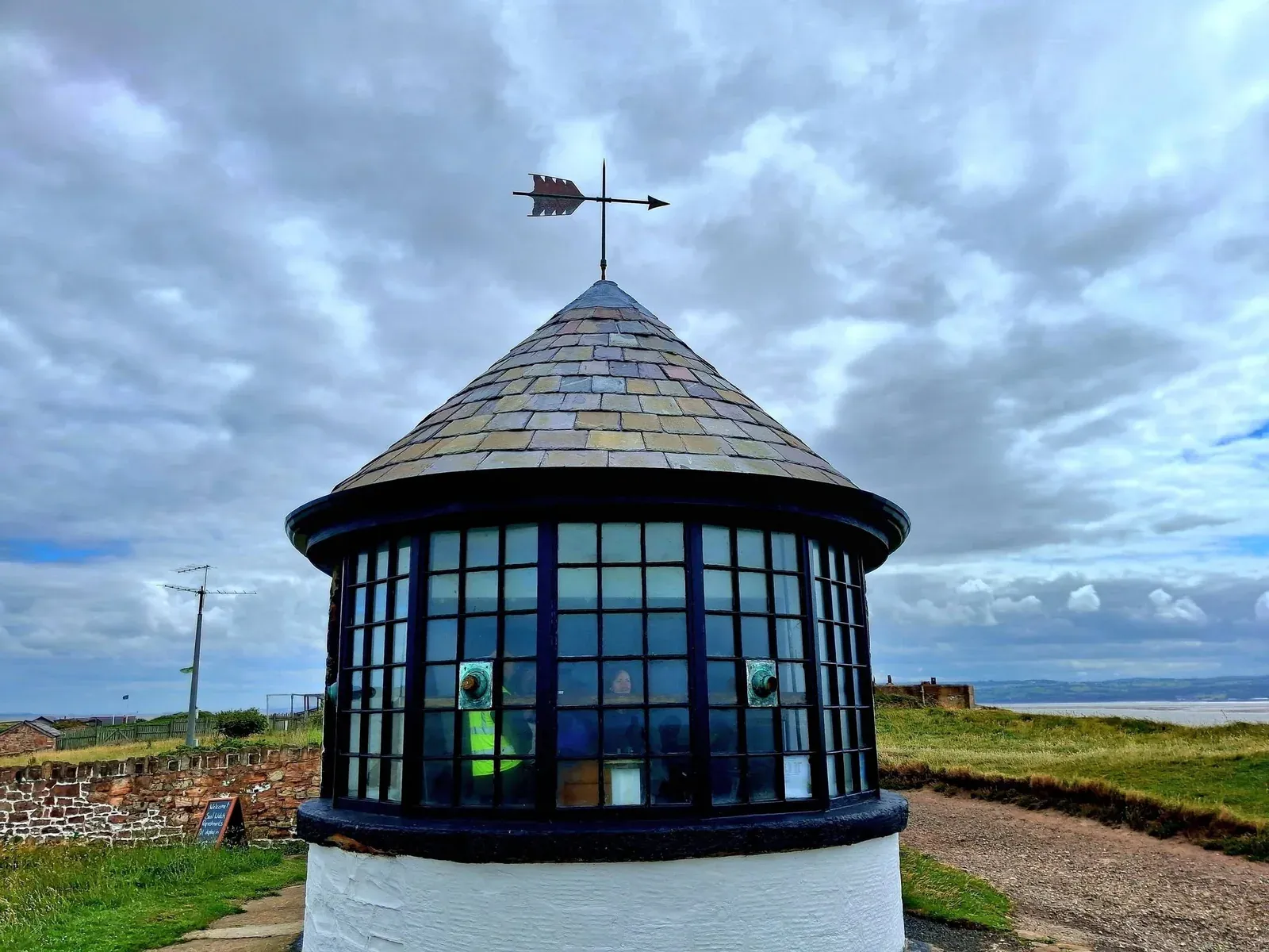
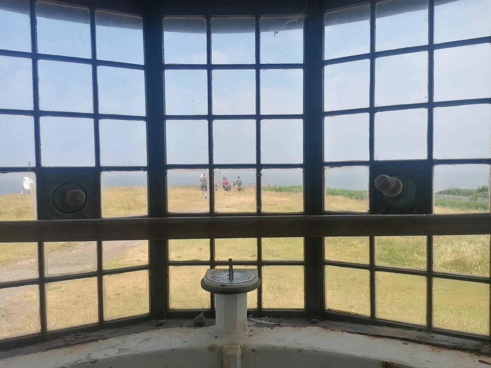
The surviving stone Telegraph Station was built in 1841. Its wide bay gave observers views towards neighbouring stations and ships at sea. An electric cable replaced semaphore in 1860 and remained in use until 1939.
Trinity House stationed a buoymaster and family on Hilbre by late 1837. Their two-storey house, completed in 1850, later became the island museum.
Rescue at sea · 1848–1939
The Hilbre lifeboat station
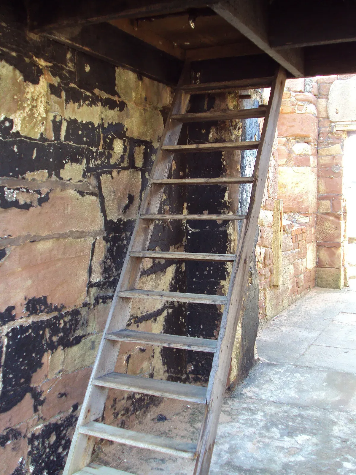
A stone boathouse and launchway were built in 1848 for the Hoylake No. 2 lifeboat after silting made launches from Hoylake difficult at some states of tide. The Hoylake crew crossed to Hilbre to launch at low water.
The RNLI assumed control of the local lifeboats in 1894. Hilbre station closed in July 1939 as motor lifeboats at Hoylake, New Brighton and Rhyl covered Liverpool Bay. Its record was 21 lives saved in 44 launches.
Beside the slipway, a narrow rock cutting formed part of a tide-measuring system. That system continued recording tidal heights and times until it was decommissioned in 2009.
A changing island · 1856–1912
Dock ownership, holiday homes and crowded shores
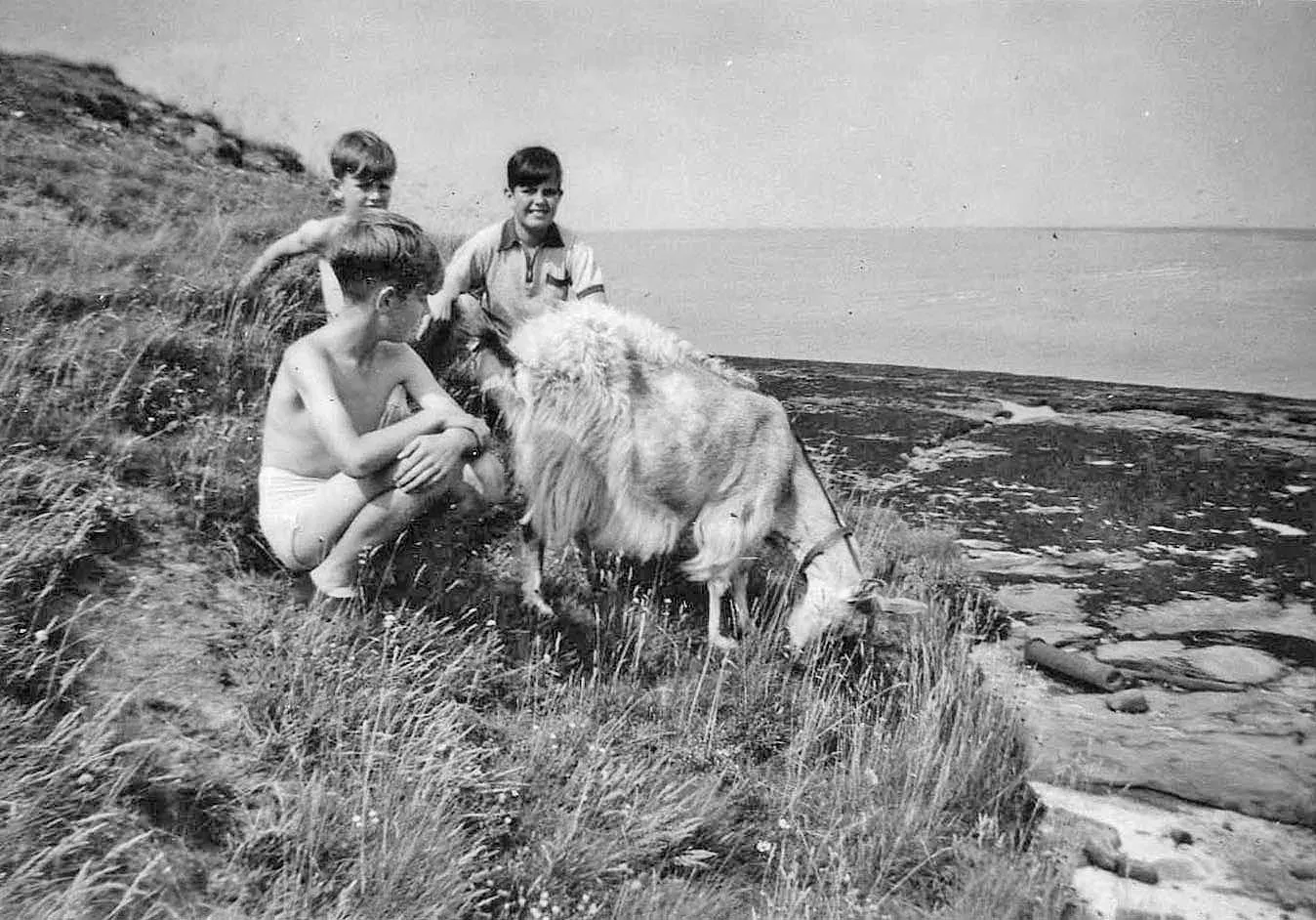
The Dean and Chapter of Chester Cathedral sold the islands to the Liverpool dock trustees in 1856. The dock authority built and maintained much of the Hilbre seen today, including major cliff-protection work in the 1890s.
Private leases allowed holiday bungalows to be built between 1896 and 1923. Meanwhile the island drew prize fights, day trips and increasingly large crowds: an estimated 2,000 people visited on the August Bank Holiday of 1911.
Railings and gates followed in 1912, together with a Dock Board policeman on busy Sundays and bank holidays. The tension between access and care for the islands is therefore not a new one.
War and public stewardship · 1914 onwards
Defence, protection and a public future
A small Army detachment served on Hilbre during the First World War. During the Second World War, RAF personnel operated decoy fires and lights on Hilbre and Middle Eye to draw attacks away from Liverpool and Bootle docks.
In 1945, Hilbre was sold to Hoylake Urban District Council with covenants intended to protect it from unsuitable development. Wirral Borough Council reaffirmed that protective purpose after local government reorganisation in 1974.
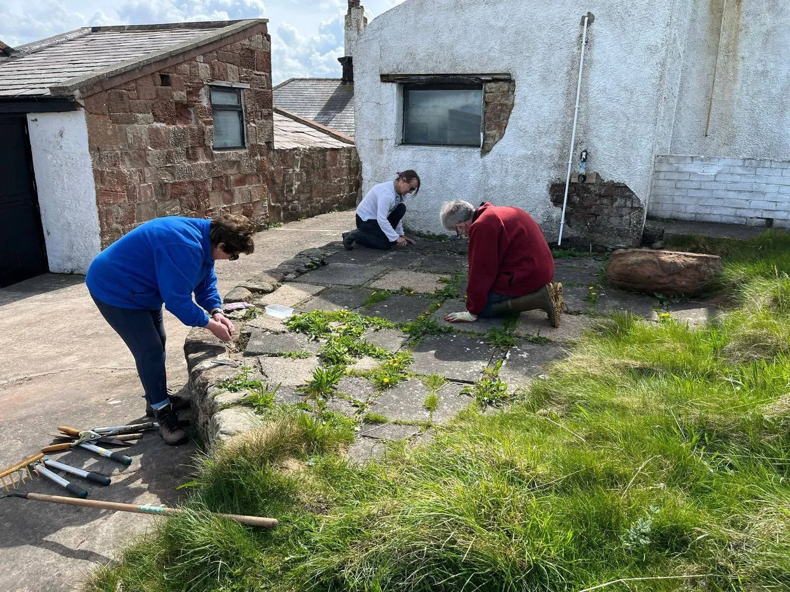
Wardens and later countryside rangers cared for the islands. Christine Longworth’s 2021 history records further management changes through 2020; present-day arrangements should be confirmed with Wirral Council.
Archaeology and sources
A story still being investigated
Archaeology continues to test and complicate the written story. The 2016 excavation beside the Bird Observatory revisited evidence for a possible early building while recovering material from several periods.
Christine Longworth recorded this historical account in 2021. Interpretations and present-day management details should be reviewed as new evidence becomes available.