
Suitable footwear
Expect wet sand, mud, rocks and slippery surfaces. Bare feet are not appropriate.
Plan your visit
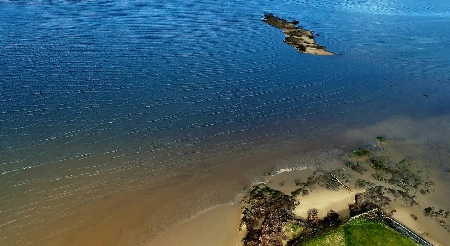
Start from Dee Lane in West Kirby, plan both directions with WalkHilbre, check the weather and carry everything you need for changing conditions.
Live crossing information
Plan the outward and return crossing before you leave.
Follow the recognised route from West Kirby via Little Eye.
Tides are only one part of planning a responsible visit.
Call 999 and ask for the Coastguard.
Forecast conditions
A model-derived forecast to help you prepare. Crossing windows remain provided by WalkHilbre.
Forecast values are model-derived and may differ from conditions experienced on the islands.
Visitor map
The map gives geographic context. It does not replace the live WalkHilbre crossing planner or conditions experienced on the shore.
Load the interactive map to explore the route and facilities.
Use this map for orientation only. Always follow current WalkHilbre crossing information and expect conditions on the shore to change.
The recognised route
Leave the mainland from Dee Lane, head towards Little Eye and continue through Middle Eye to Hilbre. Do not attempt a direct crossing from Hoylake.
The mapped line gives general geographic context only. Channels, wet areas and the firmness of the sand can change.
Read the route guide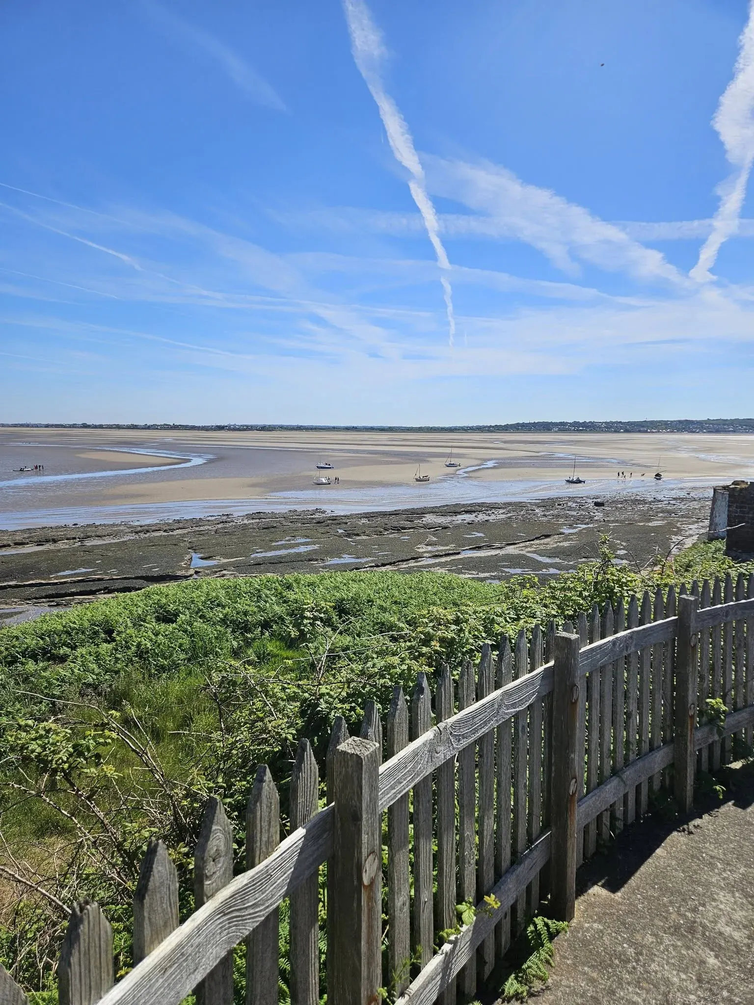

Before you leave
Expect wet sand, mud, rocks and slippery surfaces. Bare feet are not appropriate.
There is no regular drinking water, shop or café on the islands.
The exposed estuary can feel colder and windier than the mainland.
Do not plan to arrive or leave at the edge of a crossing window.
Facilities and access
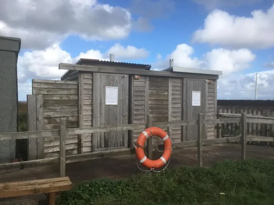
The main island has composting toilets and limited shelter. There is no regular café, shop or drinking-water supply. Building access is normally restricted and varies during events.
Read detailed access informationGetting to West Kirby
West Kirby railway station is the nearest station. Check live services and accessibility information with Merseyrail, then allow time to reach the Dee Lane slipway before your planned crossing window.