Facilities and access
Plan around the terrain and limited facilities
Specific descriptions are more useful than a single accessible or inaccessible label. Conditions and building arrangements need to be checked before each visit.
Visitor map
Route, facilities and access
The map gives geographic context. It does not replace the live WalkHilbre crossing planner or conditions experienced on the shore.
Load the interactive map to explore the route and facilities.
Use this map for orientation only. Always follow current WalkHilbre crossing information and expect conditions on the shore to change.
Terrain
Sand, mud, water and uneven rock
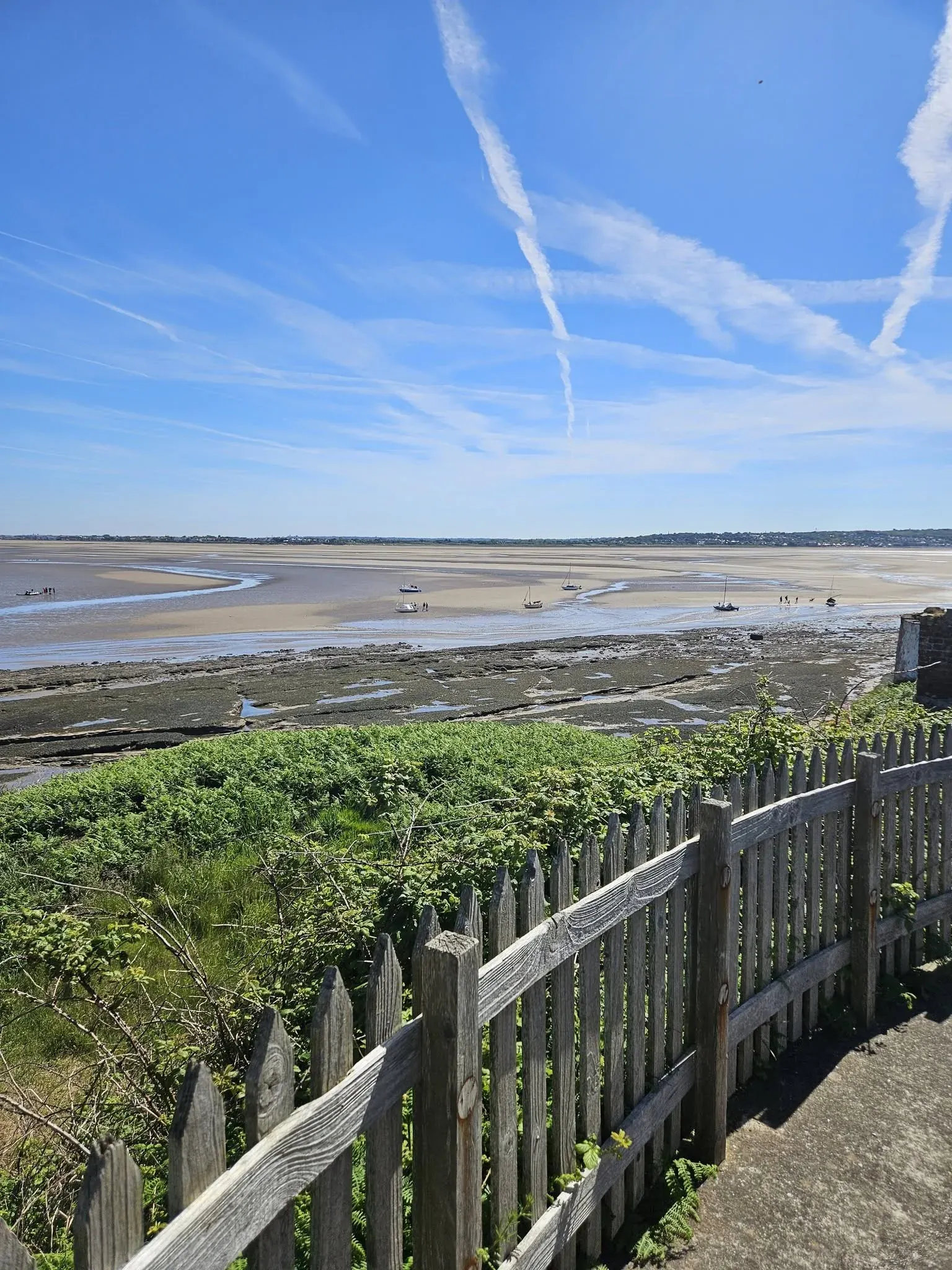
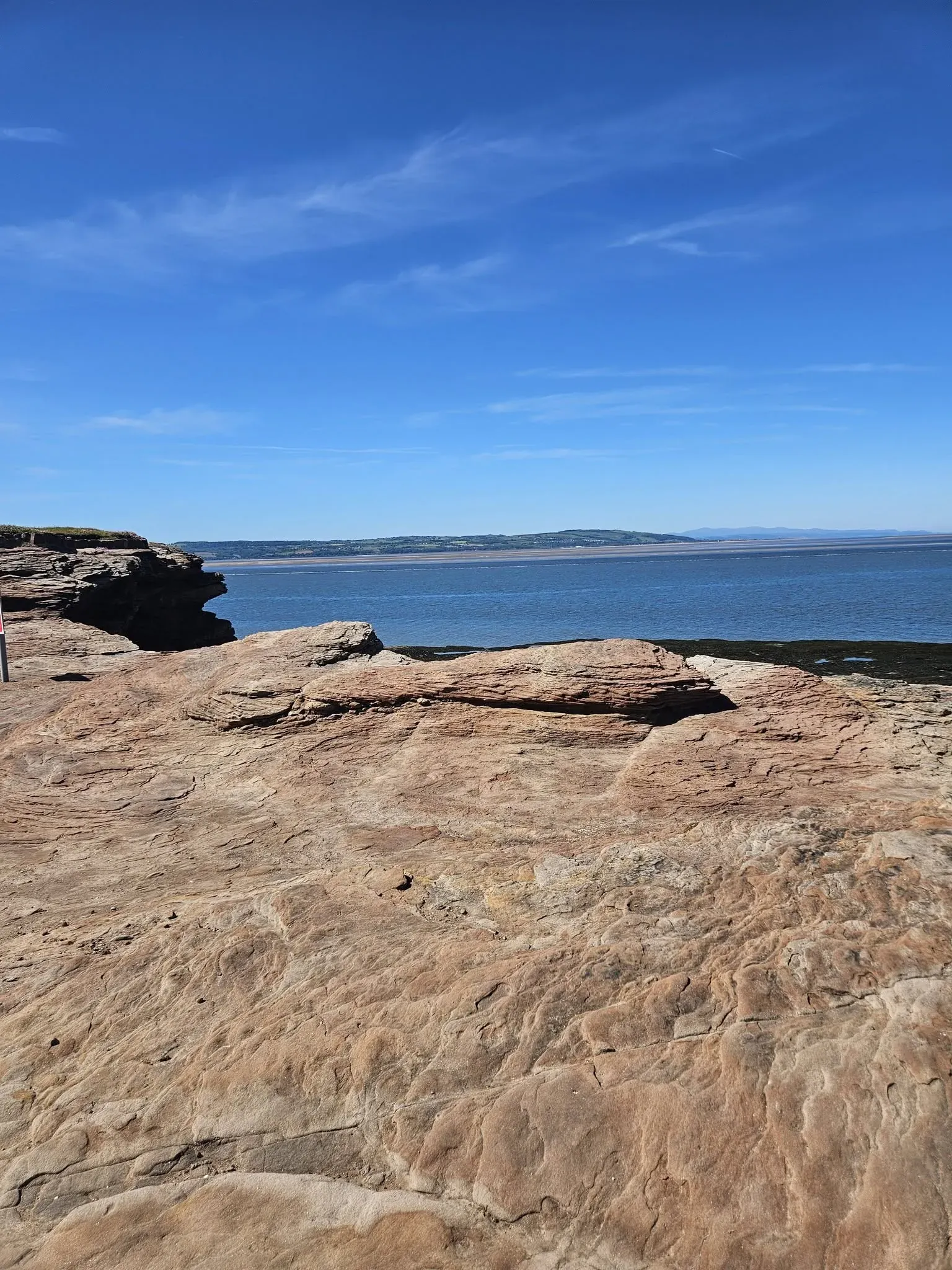
The crossing can include wet or soft sand, muddy areas, shallow water, slippery rocks and uneven ground. Conditions change with tide and weather.
Allow extra time, wear suitable footwear and consider whether everyone in your group can manage changing natural surfaces.
Facilities
Bring food, water and suitable clothing
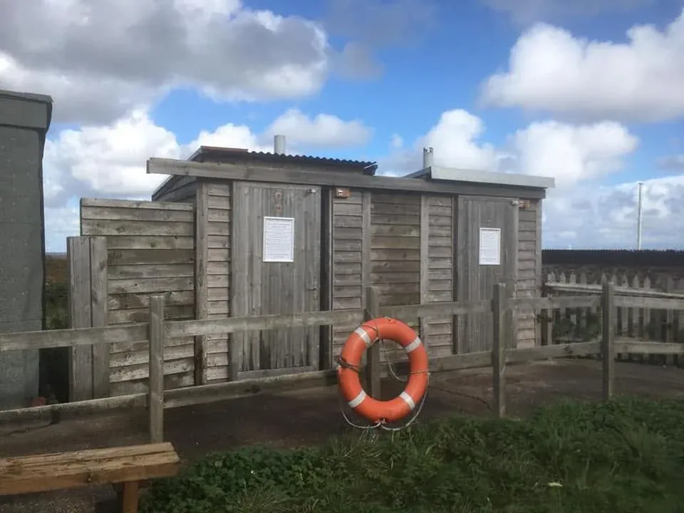
There are two composting toilets and limited shelter on the main island. There is no regular drinking water, café or shop.
Mobile reception can vary, so save the essential information before setting out.
- Composting toilets on the main island
- No regular drinking-water supply
- No regular café or shop
- Limited shelter
- Buildings usually closed outside selected events
- No overnight stays
Mainland facilities
Use facilities before starting the crossing
Public toilets are located near the Dee Lane slipway, but opening times can change and should not be assumed. West Kirby railway station does not have public toilets.
Plan around the limited facilities on Hilbre and do not rely on a shop, café, drinking-water supply or overnight shelter.
Buildings
Access depends on the building and event
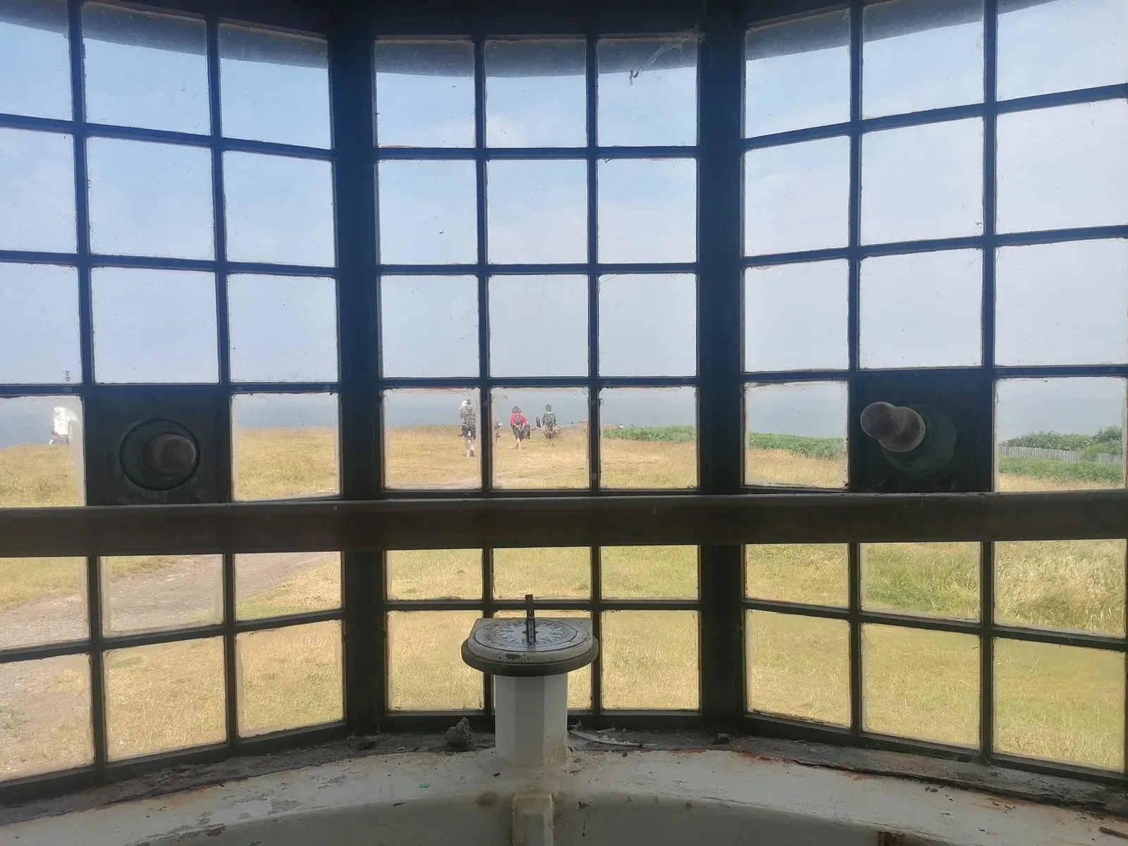
The Telegraph Station, old Lifeboat Station and other buildings have different approaches, thresholds and internal layouts.
Contact the Friends before travelling if you need information about a particular building or access requirement.