
Geology
Stone, weather and a coastline that keeps changing
Hilbre’s red sandstone cliffs, rocky platforms and tidal pools reveal a landscape continually shaped by water, wind and weather.
Red sandstone
A desert landscape preserved in stone
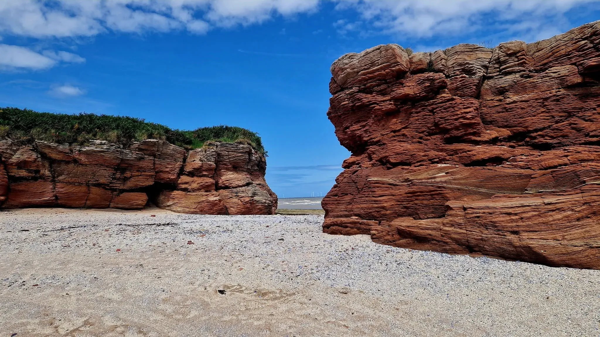
Hilbre is formed principally from Lower Triassic sandstone, deposited roughly 250 to 200 million years ago when this area experienced a much drier climate. Flash floods carried sand and pebbles across the landscape, leaving sandstone and bands of conglomerate.
Finer mudstones record quieter water after flooding. Trackways attributed to reptile-like archosaurs have been reported from comparable beds in the wider region, but any individual mark needs specialist identification.
Later earth movements tilted the rock layers towards the north-east and opened faults and fractures that waves and weather continue to exploit.
Weathered cliffs and outcrops give Hilbre much of its distinctive colour and form. Natural arches, narrow passages and ledges are part of an actively changing coast rather than permanent structures.
Observe from a safe distance, particularly around undercut or fractured rock, and do not climb on fragile formations.
Between the tides
Rock pools hold a temporary world
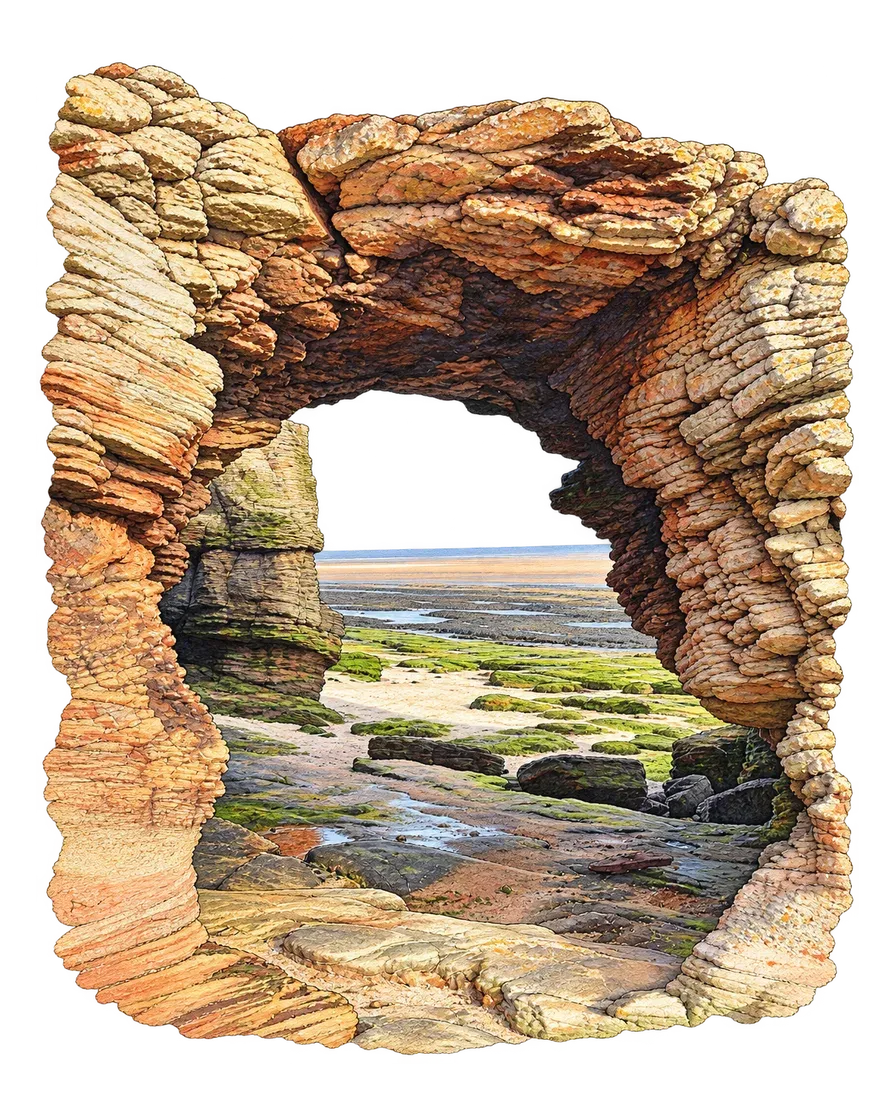
As the tide falls, hollows in the rock retain water and shelter seaweed, molluscs, crabs and other intertidal life.
Look carefully, replace any stone exactly as it was found and leave shells and living creatures in place.
A changing coastline
Erosion is part of Hilbre’s story
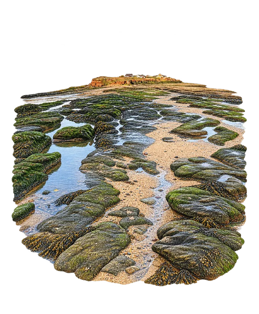
Rain, salt, waves and temperature changes continue to wear the sandstone. Undercutting, cliff falls, caves, stacks, wave-cut platforms and small beaches show different stages in that continuing process.
Named features such as Lady’s Cave, Lion Rock and Niffy Bay help people read the landscape, but their condition can change and names do not imply that a feature is safe to enter or climb.
Paths and familiar features can alter over time, so old photographs and memories do not always describe current ground conditions.
Current route and access information should always take priority over historic descriptions.
Further reading
Geology recorded in the landscape
Detailed geological records identify the island exposures as part of the Ormskirk Sandstone Formation and describe river-channel deposits, emergence surfaces, fractures and fossil trackways.
These specialist sources support the overview here; interpretations should continue to be checked as research develops.